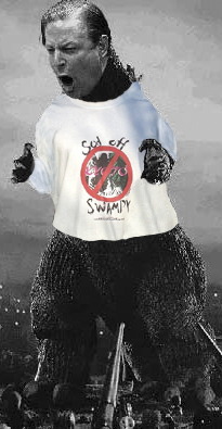
Who’s Walking Down The Streets Of The City…
Every one knows it’s Sandy…
NEW YORK (CBSNewYork) — A potentially huge weather event could hit the Tri-State Area as early as Sunday night.
The storm system is forecast to linger in the area through Tuesday and could bring with it severe winds, rains and storm surges.
…A cold front was set to advance east from the northern Plains states, and if it arrives in time, the front could push Hurricane Sandy out to sea. But if the front lags behind, the East Coast, including the New York City area, could be in for a direct hit.
The worst case scenario, as displayed in the European model for the storm, had the hurricane slamming the New York City area with 5 inches of rain from Sunday through Tuesday, and wind gusts of 65 mph. A storm surge would also erupt in that model, and some snow could also be seen.
![]()
The European Model.
That’s always the worst-case for the US, isn’t it?

I suppose the European model is better than the Democrat model. At least with the European model, NYC gets cleaned, not hosed.
Better haul out the rain gear!
More and more of the models show a left turn. In life, as in politics, that’s a recipe for disaster.
Mr. B, I suspect those models are unduly weighted to favor a left turn.